City: CRESTWOOD, IL - ZIP Code
CRESTWOOD ZIP Codes are 60418, 60445,etc. This page contains CRESTWOOD 9-digit ZIP Code list, CRESTWOOD population, schools, museums, libraries, universities, hospitals, post offices, and CRESTWOOD random addresses.
CRESTWOOD ZIP Code

CRESTWOOD 9-Digit ZIP Code

What is the 9-digit ZIP Code for CRESTWOOD, Illinois? Below is the list of CRESTWOOD ZIP Code plus 4 with the address, you can click the link to find more information.
| 9-Digit ZIP Code | CRESTWOOD Address |
|---|---|
| 60418-1020 | 12825 CARRIAGE LN APT 2C (From 2C To 2D Both of Odd and Even), CRESTWOOD, IL |
| 60418-1020 | 12825 CARRIAGE LN APT 3A (From 3A To 3D Both of Odd and Even), CRESTWOOD, IL |
| 60418-1021 | 12818 CARRIAGE LN, CRESTWOOD, IL |
| 60418-1022 | 12814 CARRIAGE LN, CRESTWOOD, IL |
| 60418-1023 | 12810 CARRIAGE LN, CRESTWOOD, IL |
| 60418-1024 | 12801 CARRIAGE LN APT 303, CRESTWOOD, IL |
| 60418-1024 | 12801 CARRIAGE LN APT 101 (From 101 To 103 Both of Odd and Even), CRESTWOOD, IL |
| 60418-1025 | 12801 CARRIAGE LN APT 304, CRESTWOOD, IL |
| 60418-1025 | 12801 CARRIAGE LN APT 104, CRESTWOOD, IL |
| 60418-1026 | 12745 CARRIAGE LN, CRESTWOOD, IL |
CRESTWOOD Basic Information

This is online map of the address CRESTWOOD, Illinois. You may use button to move and zoom in / out. The map information is for reference only.
Country:
U.S. - United StatesState:
IL - Illinois-
County:
CountyFIPS: 17031 - Cook County City Name:
CRESTWOOD- What does 'City Name' mean?
The name of the city (and in some cases, organization) designated by that ZIP Code or postal code.
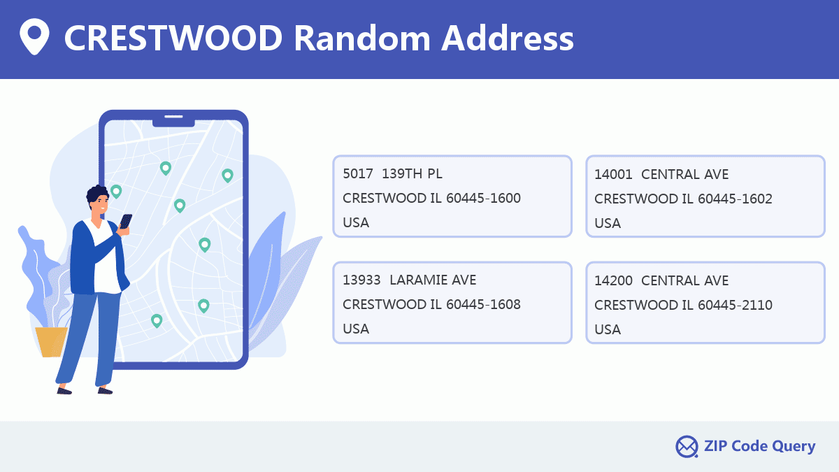
Random Address in CRESTWOOD
CRESTWOOD has 4,018 real addresses on our website, you can find the random addresses by clicking the picture below.
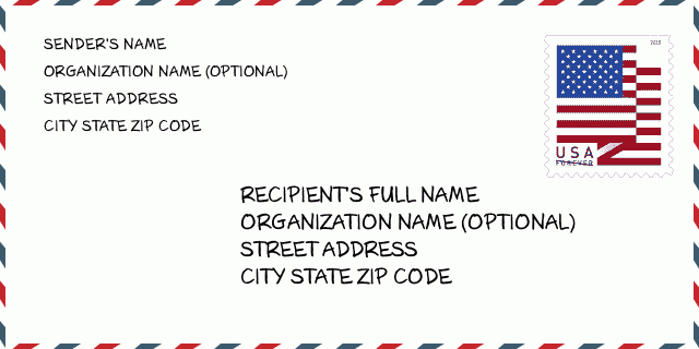
CRESTWOOD Envelope Example

-
This is an example of U.S envelope. Fill in the sender's information at the top left and the recipient information at the bottom right. The necessary information is sender/recipient's full name, street address, city, state and zip code. The recipient address information has been given for your reference. Generally, If you are not sure of the full 9-digit zip code, you can only fill in the 5-digit zip code to avoid loss of package.
-
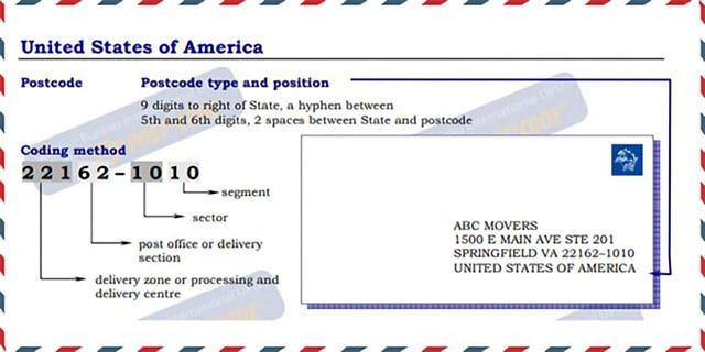
For more explanation, please read the official document: USA.pdf (English)
CRESTWOOD Population

This is the population data of CRESTWOOD in 2010 and 2020.
- ·CRESTWOOD Population 2020: 10,594
- ·CRESTWOOD Population 2010: 10,959
CRESTWOOD Museum

This is the CRESTWOOD - Museum page list. Its detail Museum Name, Street, State, ZIP Code, Phone is as below.
- ·Name: YEW DELL BOTANICAL GARDENS
- ·Street: PO BOX 1334
- ·City: CRESTWOOD
- ·State: KY
- ·ZIP Code: 40014-1334
- ·Phone: (502) 241-4788
CRESTWOOD Library

This is the CRESTWOOD - Library page list. Its detail Library Name, Address, State, ZIP Code, Phone is as below.
| Name | Address | City | State | ZIP Code | Phone |
|---|---|---|---|---|---|
| CRESTWOOD PUBLIC LIBRARY DISTRICT | 4955 WEST 135TH STREET | CRESTWOOD | IL | 60418 | (708) 371-4090 |
| SOUTH OLDHAM LIBRARY | 6720 WEST HIGHWAY 146 | CRESTWOOD | KY | 40014 | (502) 241-1108 |
CRESTWOOD School

This is the CRESTWOOD - School page list. Its detail School Name, Address, State, ZIP Code is as below.
| School Name | Address | City | State | Grades | ZIP Code |
|---|---|---|---|---|---|
| Kolmar Elem School | 4500 W 143rd St | Crestwood | Illinois | PK-8 | 60445 |
| Nathan Hale Intermediate | 5312 135th St | Crestwood | Illinois | 3-5 | 60445 |
| Nathan Hale Middle School | 5220 135th St | Crestwood | Illinois | 6-8 | 60445 |
| Nathan Hale Primary School | 5324 135th St | Crestwood | Illinois | PK-2 | 60445 |
| Camden Station Elementary School | 6401 W Hwy 146 | Crestwood | Kentucky | KG-5 | 40014 |
| Centerfield Elementary School | 4512 S Hwy 393 | Crestwood | Kentucky | KG-5 | 40014 |
| Crestwood Elementary School | 6500 W Hwy 146 | Crestwood | Kentucky | KG-5 | 40014 |
| South Oldham High School | 5900 Hwy 329 Bypass | Crestwood | Kentucky | 9-12 | 40014 |
| South Oldham Middle School | 6403 W Hwy 146 | Crestwood | Kentucky | 6-8 | 40014 |
| Southview | 11660 Eddie And Park Rd | Crestwood | Missouri | KG-12 | 63126 |
Comment


Add new comment